
 2 hours ago
22
2 hours ago
22
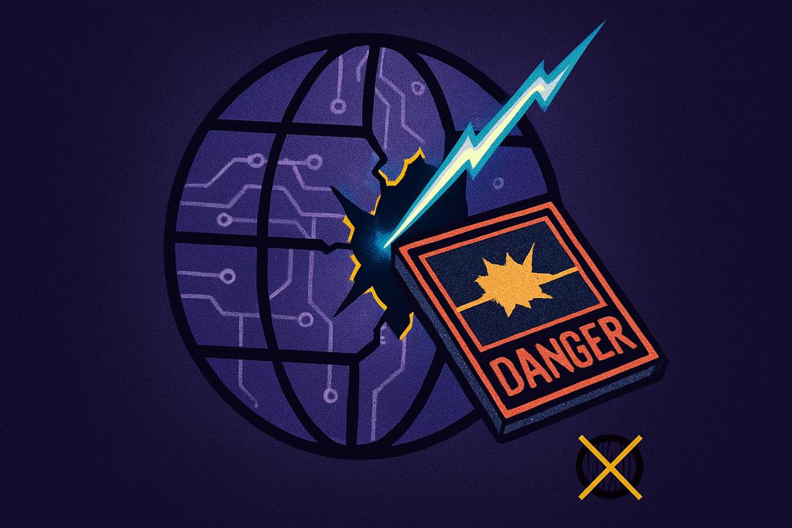
It took less than 24 hours for Google’s newest AI experiment to unravel. The Google Earth AI removal on July 31, 2026 — just one day after the tool launched — exposed a fundamental tension that the company hadn’t fully reckoned with: what happens when you let anyone rewrite the visual record of the real world?
Key takeaways
- Google launched its Nano Banana AI image-generation tool inside Google Earth on July 30, 2026, and pulled it the following day after policy violations emerged.
- Users generated fabricated satellite scenes including a blast crater in Los Angeles, a flooded U.S. Capitol, and a fire on Iran’s Kharg Island — none of which ever happened.
- Open-source researcher Henk van Ess and Bellingcat researcher Jake Godin publicly warned the tool could flood the web with convincing fake geospatial imagery.
- Google’s SynthID watermark defense — designed to flag AI-generated content via the Gemini app — was found to be bypassable in some cases, according to BBC Verify testing.
- Google has pledged to reinstate the feature only after building stronger guardrails, with no timeline given for when that might happen.
A Feature That Lasted One Day
The tool was called Nano Banana, and on the surface it sounded compelling. Google introduced it on July 30, 2026, letting users zoom into any location on Google Earth’s web version, hit “create image,” and generate a photorealistic scene from a simple text prompt layered over real satellite or aerial imagery. Geospatial professionals were among the first to explore its potential.
By July 31, it was gone.
In a statement posted to X, Google acknowledged the obvious problem. “We know that people uniquely trust Google Earth for a reliable view of the world,” the company wrote, adding that while some users found constructive applications, others had been sharing generated screenshots that “appear to violate our policies.” The feature was being paused, Google said, while the company works on “implementing stronger guardrails.”
What made the backlash so fast and so loud wasn’t just what users created. It was how easy the creation process was.
What Users Actually Made — and Why It Alarmed Experts
Within hours of launch, journalists and open-source researchers were demonstrating what the tool could do. Tech outlet 404 Media showed it producing a blast crater in Los Angeles and crowds of demonstrators gathered at Google’s Mountain View headquarters. NPR created depictions showing Iran’s Kharg Island engulfed in flames alongside an inundated U.S. Capitol — visuals that, if circulated without context, would suggest catastrophic real-world events.
Open-source researcher Henk van Ess told NPR he used prompts involving refugees at the Mexican border and a nuclear plant in Iran, and that none of them were refused. He later described the core problem with striking clarity: “The forgery does not have to look convincing on its own. It inherits the credibility of the map it was born on.”
That observation cuts to the heart of why this matters. Satellite imagery has long functioned as a kind of final arbiter in verifying breaking news, documenting atrocities, and tracking military movements — precisely because, until recently, faking it convincingly required significant technical skill. A one-click tool changes that calculus entirely.
BBC Verify’s own testing added further weight to those concerns. Reporters were able to generate images of the Eiffel Tower in ruins, the Great Pyramid of Giza consumed by a massive sinkhole, and Russian military vehicles in Kyiv — all fabricated, all rooted in real geographic coordinates. BBC Verify also tested the feature against Google’s own content restrictions and found that small prompt variations could bypass them.
The SynthID Problem
Google’s initial response pointed to its SynthID watermark system as a safeguard. Every image generated by the tool, the company said, carries an invisible watermark that identifies it as AI-created — detectable via the Gemini chatbot or Google Lens. In theory, that gives users a way to verify what they’re looking at.
In practice, critics found the defense thin. BBC Verify’s testing showed it was possible to feed the fake images back into Gemini and, with some prompt manipulation, get the chatbot to characterize them as real. External AI detection tools also failed to flag some of the generated content. AI-detection researcher Henry Ajder told BBC Verify that not everyone would stop to verify an image before sharing it — and that in fast-moving crisis situations, few people do.
“It’s concerning because it’s another place where sources of trusted information are being eroded by the constant doubt that AI might be involved,” Ajder said.
The Deeper Stakes for Satellite Imagery and Verification
The episode isn’t just a story about a product launch gone wrong. It reflects a broader shift in how synthetic media is beginning to erode the verification infrastructure that journalists, researchers, and governments rely on.
Bellingcat researcher Jake Godin warned that tools like this would streamline the creation of fake geospatial imagery and accelerate its spread — and that misinformation, once out, tends to outrun corrections. More worryingly, he raised the prospect that governments and bad actors could start dismissing authentic satellite images as fabricated, using the mere existence of AI generation tools as plausible deniability.
Bill Greer, a geospatial analyst and co-founder of the nonprofit satellite service Common Space, told BBC Verify that falsified satellite imagery has already been used to spread misinformation. “Governments are also restricting access to data more and more, so we’re likely to see more false images, and fewer real images which will further erode trust,” he said.
That’s the compounding risk here. As authoritative sources of real imagery become scarcer, and as AI-generated imagery becomes indistinguishable to the casual viewer, the evidentiary value of satellite photos in journalism and accountability reporting could diminish significantly.
Why Google’s Rollout Raised Questions About Process
It’s worth asking how a feature with such obvious misuse potential made it to public launch in the first place. The risks that journalists and researchers identified within hours were not obscure edge cases — they were the most obvious use cases imaginable for a tool that lets anyone type a sentence and alter a satellite view of the real world.
Google’s move to pause rather than permanently remove the feature suggests the company still sees legitimate value in the technology, particularly for geospatial professionals. But the speed of the reversal — less than 48 hours from launch to rollback, as reported by BBC Verify — signals that internal content moderation frameworks weren’t adequately stress-tested before release. The Nano Banana launch, it appears, was also something of an unplanned stress test for Google Earth’s relationship with its most trust-sensitive user base.
Google’s Path Forward — and the Questions It Leaves Open
Google has committed to reinstating AI image generation in Google Earth, but only after implementing tighter protections. No timeline has been provided. The company hasn’t specified what those stronger guardrails will look like, or whether they’ll address the SynthID bypass vulnerabilities that BBC Verify identified.
What’s clear is that the trust problem won’t be solved by watermarks alone. As Ajder noted, the spaces assumed to be “unblemished by AI” carry particular value for journalists working in conflict zones and crisis scenarios. Once that assumption is broken — even temporarily — it’s difficult to fully restore.
The harder question Google now faces isn’t technical. It’s philosophical: can a platform built on the premise of showing the world as it actually is coexist with a tool designed to show the world as anyone imagines it?
FAQ
Why did Google remove the Nano Banana AI image-generation tool from Google Earth?
Google pulled the tool on July 31, 2026 — one day after launch — because users were generating fabricated satellite images that violated the platform’s policies and raised serious misinformation concerns. The company cited the unique trust users place in Google Earth as a reliable view of the real world.
What kind of fake images did users create with the Nano Banana tool?
Users fabricated scenes including an explosion crater in Los Angeles, a submerged U.S. Capitol, Iran’s Kharg Island burning, a collapsed Eiffel Tower, a sinkhole at the Great Pyramid of Giza, and Russian tanks in Kyiv — none of which actually occurred.
How did Google try to identify AI-generated images from Nano Banana?
Google embedded SynthID watermarks in all AI-generated images, designed to flag them as artificial when checked via the Gemini chatbot or Google Lens. However, BBC Verify testing found it was possible to circumvent these checks in some cases, and external AI detection tools also failed to identify certain generated images.
Will Google bring back the Nano Banana feature?
Google has said it intends to reinstate AI image generation in Google Earth only after adding stronger guardrails, but has not provided any timeline for when that will happen.
Article produced with the assistance of artificial intelligence and reviewed by the editorial team.



 English (US) ·